

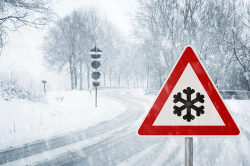
 [A] spell of rain, quickly turning to sleet and snow, will move southeast across the UK on Monday night and Tuesday, gradually weakening across England and Wales. Some roads and railways may be affected with longer journey times by road, bus and train services.
As rain, sleet and snow clears Northern Ireland and Scotland overnight Monday, ice may form on some untreated roads, pavements and cycle paths.
Snow is likely to be confined to hills above 100 metres over Northern Ireland, but to low levels elsewhere.
Away from coasts, 1-3 cm of snow is possible with up to 5 cm above 200 metres.
As skies clear from the west early on Tuesday morning, ice is likely to develop across western Scotland and Northern Ireland.
Chief forecaster Frank Saunders said: “We’re in for a cold week ahead with freezing conditions overnight and a little snow for many parts of the UK at some point.
“On Tuesday night we could see temperatures as low as -11°C.
“There are a number of national severe weather warnings in place and we would urge everyone to stay up to date with the latest forecast.”


