

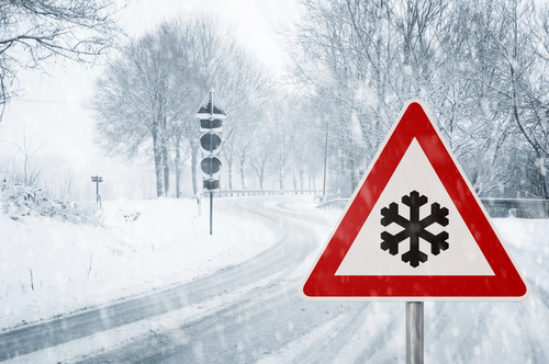
 [F]requent and heavy snow showers are expected on Wednesday and Thursday leading to some significant accumulations developing.
Long delays and cancellations on bus, rail and air travel could occur.
Roads may become blocked by deep snow, with many stranded vehicles and passengers.
Some rural communities might be cut off for several days.
Long interruptions to power supplies and other services such as telephone and mobile phone networks, could occur.
Met Office Chief Forecaster said: “Snow showers will bring variable snow cover, but parts of northeast England and Scotland are expected to see the most frequent snow showers from Wednesday morning to Thursday afternoon.
“During this time, 5-10 cm of snow is expected quite widely.
“Where showers become organised though, most likely across Scotland and over the hills of northern England, some places are likely to have an additional 15-25cm of snow, locally as much as 40cm.
“Strong winds will lead to drifting of snow and severe wind chill, while lightning could be an additional hazard, particularly near coasts.
“This warning has been updated to extend the area south across parts of northern England, this particularly for Wednesday and the first part of Thursday, whilst the end time has been extended to later on Thursday.”
There will be wide regional differences in snow accumulation with some areas seeing marked build-ups of snow of up to 5 to 10cms while others nearby could see very little. Parts of Scotland could see well in excess of 20 cm of lying snow.
Further snow is expected on Thursday and Friday, as Storm Emma (named by the Portuguese Met Service) pushes into southern England from the continent. This could lead to significantly disruptive snow across southern UK, while gales and freezing rain could pose additional major hazards in places, increasing the risk of power cuts.
Freezing rain is relatively rare in the UK and can be a very hazardous phenomena affecting roads and other infrastructure potentially causing travel disruption. It starts life as snow, ice, or hail, which melts as it passes through a band of warm air as it falls, before refreezing in a band of colder air. The rain droplets become ‘supercooled’ and are close to or below freezing when they hit the ground, freezing on impact.
Met Office Chief Forecaster, Laura Patterson, said: “This spell of weather is the coldest parts of the country have seen since at least 2013, and there is the potential for disruptive snowfall in many parts throughout the week. Transport disruption is likely in areas with significant snowfall and the cold could have an impact on people’s health.
“Low temperatures mean snowfall is likely to be powdery, bringing the risk of drifting in the strong easterly winds. The areas affected by snow will vary from day to day and so will the areas at the risk of major impacts.
“With the weather so severe at the moment it is really important that everyone keeps up to date with the forecast and warnings in their area, check for local travel information and follow the advice of local authorities and emergency services.”
The Met Office is working with partners in road, rail and air transport to help minimize the impacts on the public.


